 |
|
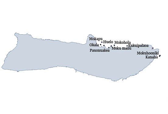
Kukuipalaoa
|
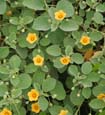
'ilima patch
Photo: H. Eijzenga
|
0.6 acre islet located along the northeast tip of Moloka'i, east of Pelekunu Bay.
The islet is State owned and all native flora and fauna on the islet is protected under State and/or federal law.
|
|
| Literature Citations: | Hawaii, S.o. 1969. Geographic names approved, second quarter 1969, p. 8. In: Development, D.o.P.E. (ed.), State of Hawaii8. Walker, R. 1978. Named islands, islets, rocks, sandspits in the Hawaiian Archipelago. Department of Land and Natural Resources: Division of Forestry and Wildlife, Honolulu. 16 p. |
|
| |

|